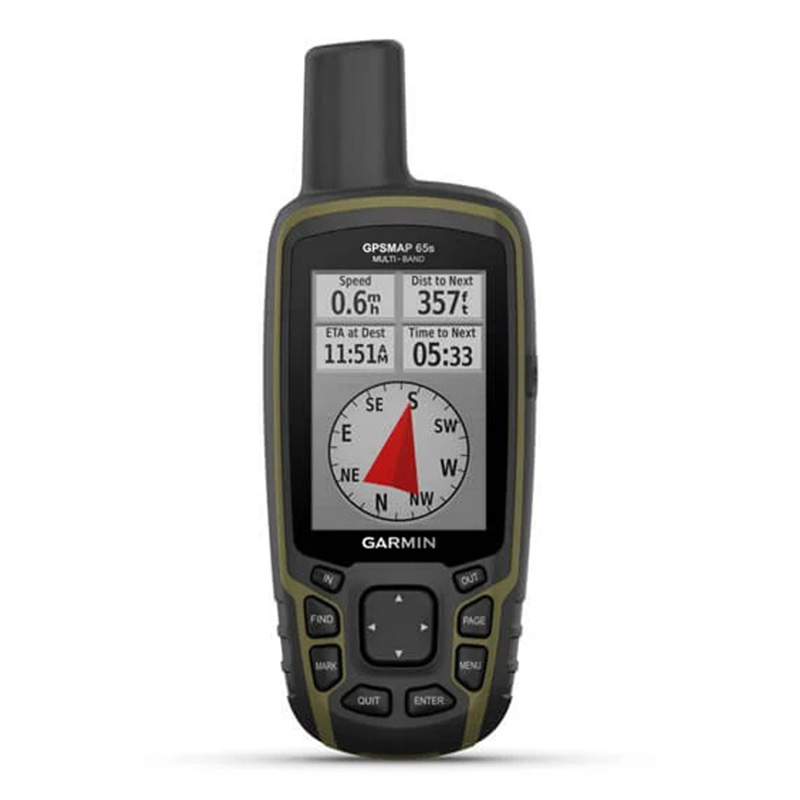
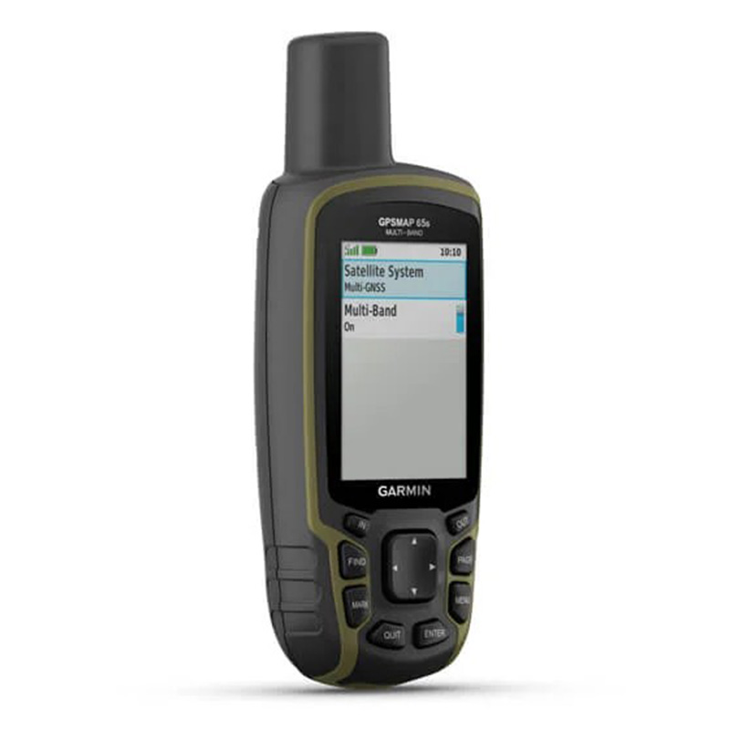
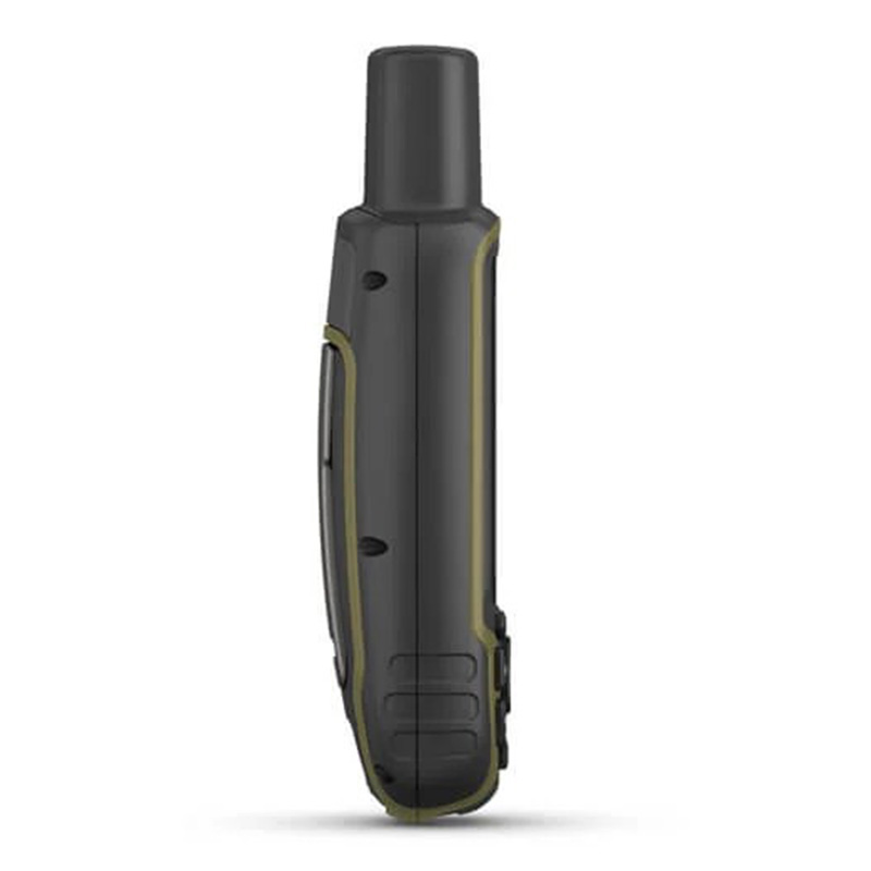
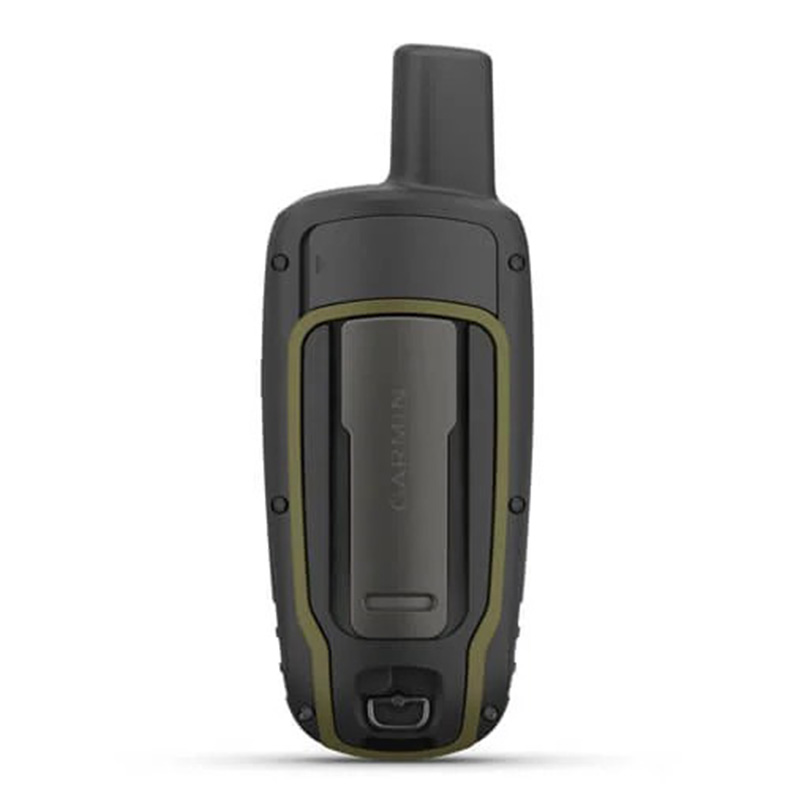
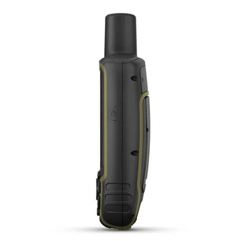
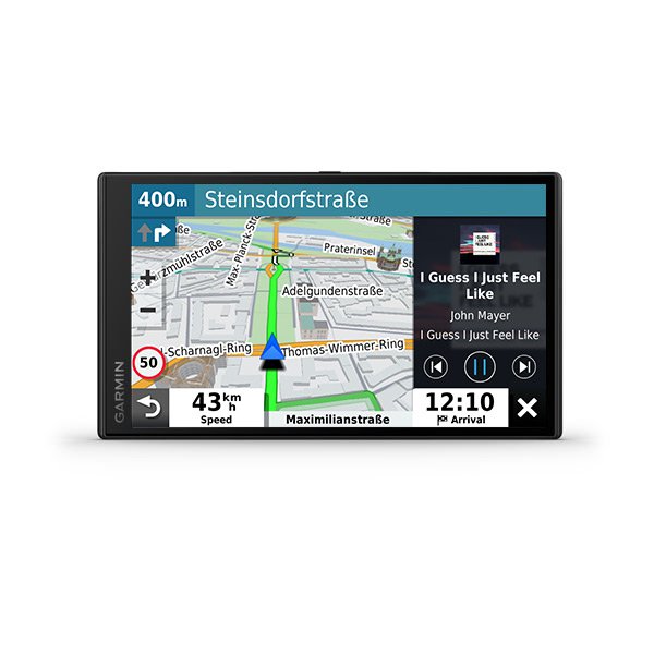
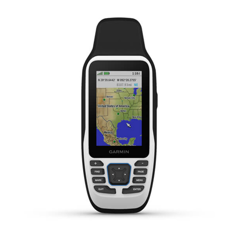
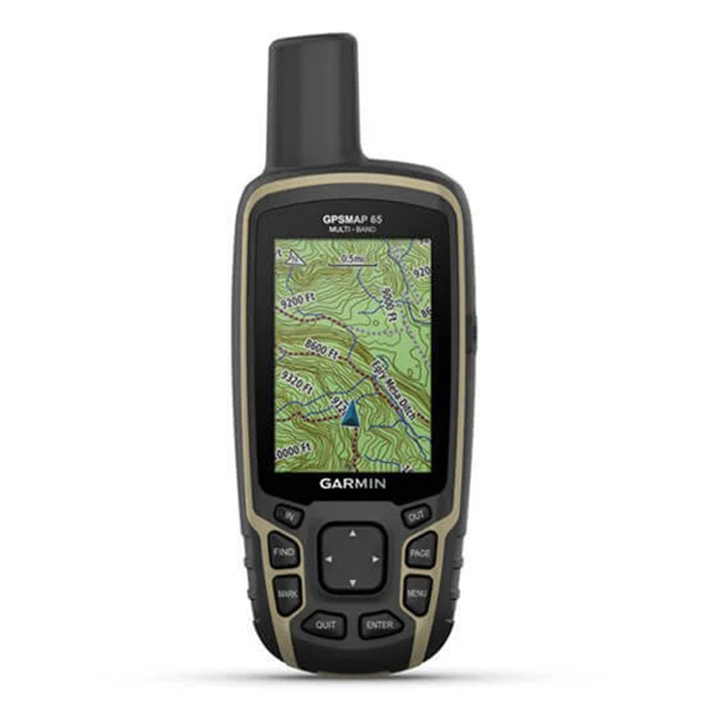
Garmin GPSMAP 65s Multi-band/multi-GNSS handheld with sensors
010-02451-11 1 year warrantyAED 1,668.00
Quantity
** Order for Dhs 200 and get free shipping within UAE
Product Rating:
(Rating: 5.0 | Reviews: 139)
CART
No Products
TotalAED 0
Garmin GPSMAP 65s Multi-band/multi-GNSS handheld with sensors (With Altimeter and Compass)
Find Your Way In This Big, Wide World
Explore more with this rugged handheld that offers optimal tracking accuracy, a 2.6-inch colour display and preloaded maps.
Features
-
Expanded Gnss Support - Multi-band technology and expanded GNSS support (GPS, GLONASS, Galileo, QZSS and IRNSS) provide optimal accuracy in steep country, urban canyons and forests with dense trees.
-
ABC Sensors - Navigate every trail with ABC sensors, including an altimeter for elevation data, barometer to monitor weather and 3-axis electronic compass.
-
Preloaded Topoactive Europe Maps - Preloaded TopoActive Europe maps provide detailed views of routable street and off-road networks, waterways, natural features, land use areas, buildings and more.
-
Smart Notifications - Receive emails, texts and alerts right on your handheld when paired with your compatible device.
-
Garmin Explore App - Plan, review and sync waypoints, routes and tracks by using the Garmin Explore app1 and website. You can even review completed activities while still in the field.
-
Geocaching - Get automatic cache updates from Geocaching Live, including descriptions, logs and hints.
-
Microsd Slot - Using your compatible device and microSD memory card, conveniently download TOPO 24K maps and hit the trail.
Hyjiyastore is a best place to buy the Garmin GPSMAP 65s Multi-band/multi-GNSS handheld with sensors in Dubai, Abu Dhabi, Sharjah, Al Ain, UAE, Middle East. Now shipping available to Doha - Qatar, KSA - Saudi Arabia, Bahrain, Kuwait, Oman in the GCC. Our customers keep on coming back the reason, we have best customer support service / Cash on Delivery and One Day Delivery in UAE.
-
Expanded Gnss Support - Multi-band technology and expanded GNSS support (GPS, GLONASS, Galileo, QZSS and IRNSS) provide optimal accuracy in steep country, urban canyons and forests with dense trees.
You May Also Like

